We provide comprehensive survey services that empower informed decision-making. Our expert team leverages cutting-edge technology to deliver accurate and reliable data, ensuring the success of your projects.
Whether you’re planning a new development, maintaining existing infrastructure, or preserving historic assets, our services are tailored to your specific needs. From meticulous land surveys to detailed building inspections and critical utility mapping, we provide the insights you need to make informed decisions.
If you are unsure which service you need, contact our experts today. We would be more than happy to help you choose a service which best suits your requirements.
Services
Best Services We Offer
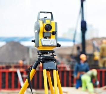
Topographical Survey
A topographical survey is an accurate depiction of a site which is scaled according to the spatial considerations and is the summary of on-site data.
Mobile Mapping is the process of collecting 3D geospatial data from a moving vehicle that can be used on Land,Road etc. Data is collected through vehicle mounted laser scanners
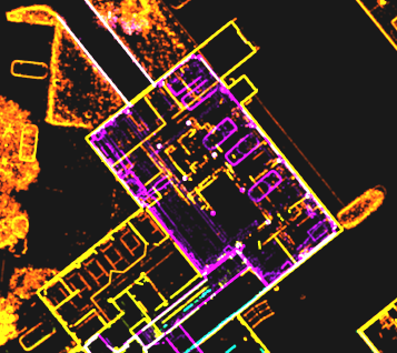
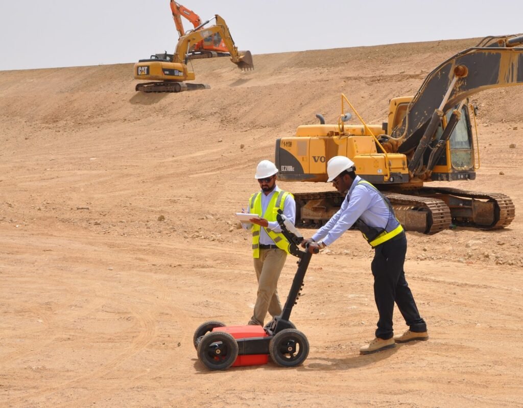
We offers 2D and 3D GPR rebar detector concrete imaging across the U.A.E.. We can provide both 2D and 3D images that are easy to interpret, allowing non-destructive testing to take place prior to any drilling, sawing or coring.
AL NASEEM SURVEY is an independent testing laboratory aiming towards full commitment in quality and providing the highest standard services in the building evolution of U.A.E.
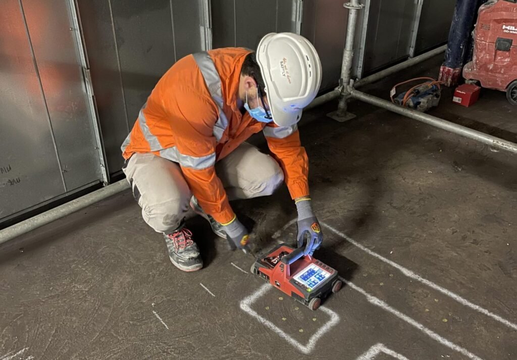
The failure to identify the locations of buried services before a development takes place can result in increased project costs and delays such as re-routing services. An Underground Utility Survey also minimizes the risk of serious health and safety implications while on site works take place.
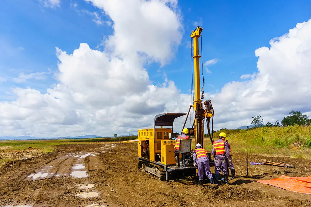
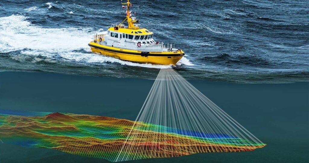
Hydrographic Surveys are conducted for obtaining information on water depth in Ports, Anchorages, Rivers, Dams, Reservoirs etc., and is required for Navigation, project-cum-engineering, irrigation, tidal power, tourism, inland water ways, pre-dredging, progressive and post-dredging, etc.
Reverse Engineering uses different forms of 3D scanning to create a CAD model where no model exists. 3D scanners, portable CMMs and laser trackers are used for other reverse engineering solutions beyond models…
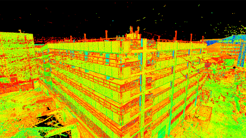
3D Laser Scanning is fast becoming the industry norm for precision surveying in high precision and high value technical environments. As one of the first companies to adopt Laser Scanning technology, we are one of the most experienced.