ALNASEEM SURVEY is a pioneering Survey Engineering Company in U.A.E. Our engineering built on a strong work ethic, honesty and a commitment to relationships
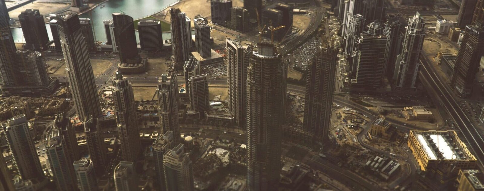
At AL NASEEM SURVEY we are redefining precision in geospatial and subsurface surveying across Dubai and the UAE. As a trusted leader in the industry, we specialize in advanced mobile mapping, LiDAR surveys, 3D scanning, and ground penetrating radar (GPR) surveys. Our cutting-edge technology and experienced team deliver accurate, high-resolution data that supports smart decision-making across construction, infrastructure, and urban development projects. We also offer expert bathymetric surveys, enabling detailed underwater mapping for ports, marinas, and coastal developments. Our mobile mapping solutions ensure efficient data collection even in the most complex environments. With a commitment to innovation, we continuously invest in the latest equipment and software. Our goal is to provide clients with reliable, fast, and cost-effective survey services. We pride ourselves on delivering tailored solutions that meet the unique challenges of each project. From pre-construction planning to ongoing monitoring, we support the full project lifecycle. Our LiDAR and 3D scanning services help build accurate digital twins for smarter city planning. At AL NASEEM SURVEY safety, quality, and precision are at the core of everything we do. Our team consists of skilled professionals who are passionate about delivering excellence. .
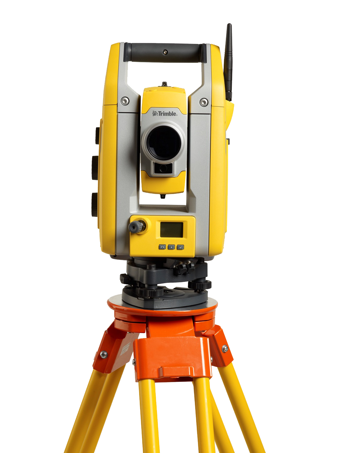
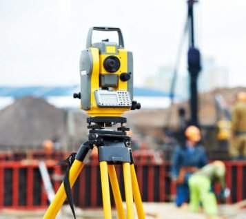
Mobile Mapping is the process of collecting 3D geospatial data from a moving vehicle that can be used on Land,Road etc. Data is collected through vehicle mounted laser scanners
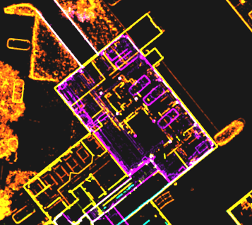
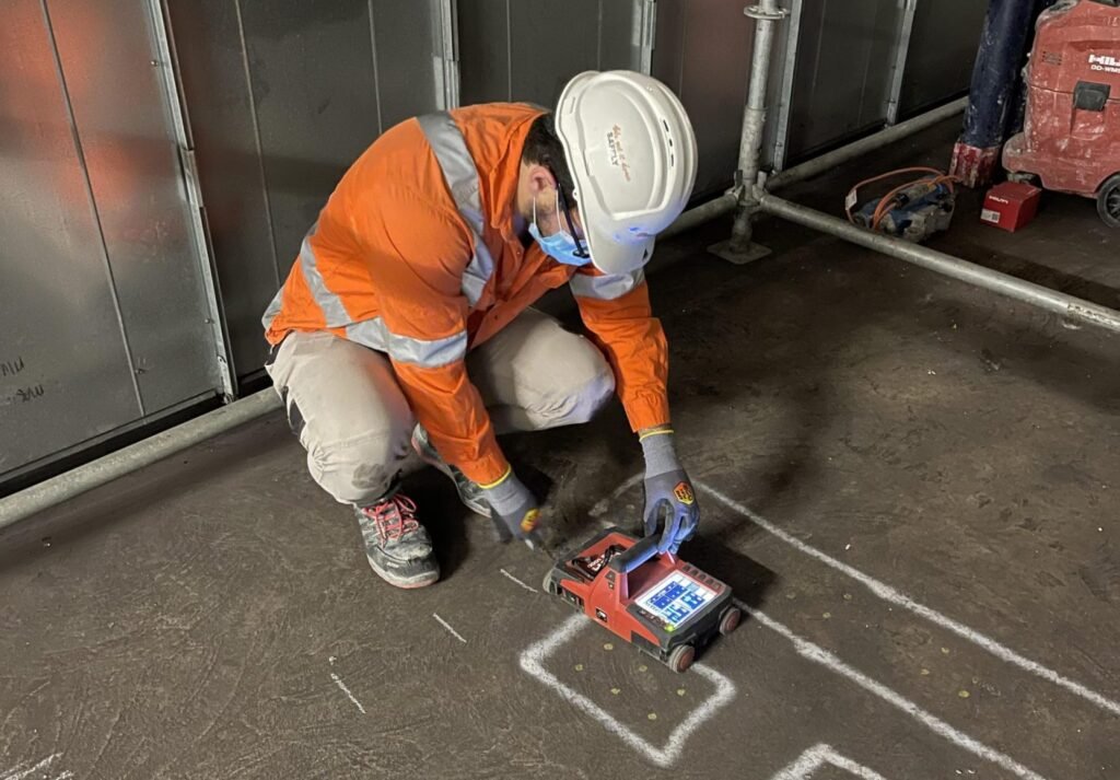
We offers 2D and 3D GPR rebar detector concrete imaging across the U.A.E.. We can provide both 2D and 3D images that are easy to interpret, allowing non-destructive testing to take place prior to any drilling, sawing or coring.